Project summary

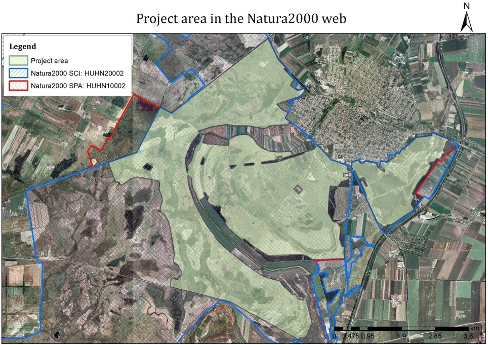
The 2,933-hectare Pannonic salt steppes and salt marshes (1530*) and Pannonic loess steppic grasslands (6250*) project area developed a significant water deficit. The combined effects of regional rainwater drawdown and climate change have resulted in 1.1-1.5 million m3 less rainwater entering the project area each year. The status of the wetlands of the 15 sodic wetlands has changed unfavourably, as the proportion of dry habitat mosaics in the riverbeds was 2% in the reference state, which has increased to 33% today. The healthy water balance was further upset by the proliferation of problematic non-native and native trees and shrubs with water consumption higher than that of the original plant communities, as well as proliferation of reed and cattail. The loosening of the riverbed and the compaction of the soils of direct catchments also had an adverse effect, leading to a further decrease of the residence time of the water and increased sedimentation of the beds. In sum, an unfavourable steppification process has started to take place, which has significantly damaged the conservation status of the sodic wetland sub-type of (1530*) habitat, thereby reducing the population of priority bird species characteristic of these habitats by 300-400%, and also impaired ecosystem services. The primary goal of the project is to tackle the problem of reduced water deficit in the 15 sodic wetlands. This can be done by supplementing the precipitation from the direct catchment with the annual 1.1-1.5 million m3 of rainwater generated in the 6,000-hectare catchment, which is discharged into the 15 water bodies by restored watercourses. As a result, in wetland beds, the sub-type habitat will return to the reference status level on average, in particular the proportion of dry sodic habitats will decrease from today's 33% to 5% by the end of the project period. As a further effect, the number of priority breeding and migratory bird species will also increase to at least 90-95% of the potential carrying capacity.

